
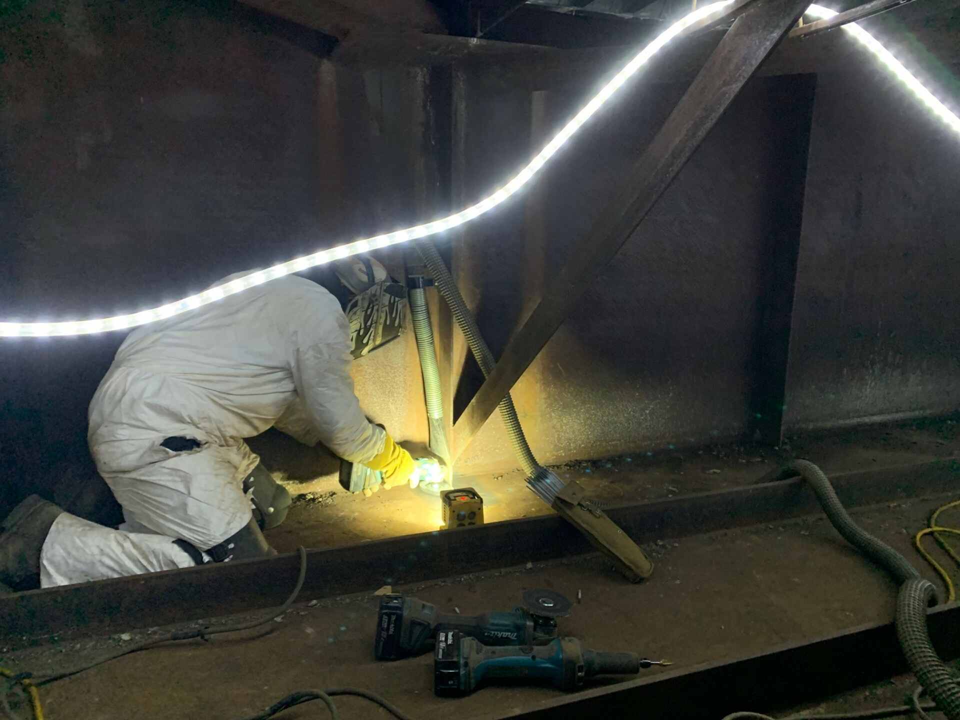
Bridge Piles Evaluated
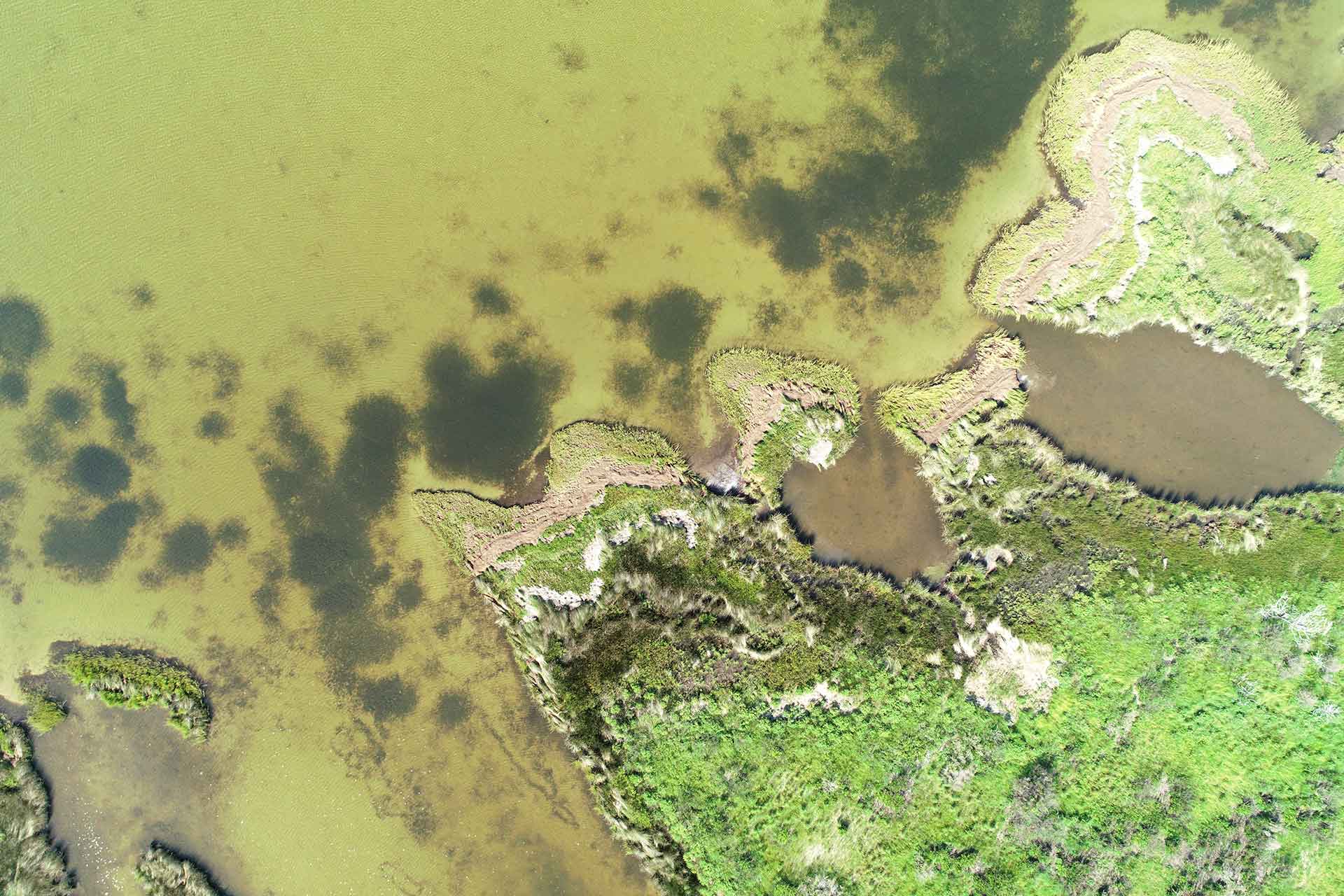
Seagrass Sods Relocated
Manager, Natural Resources:
Pete Stafford
The Project
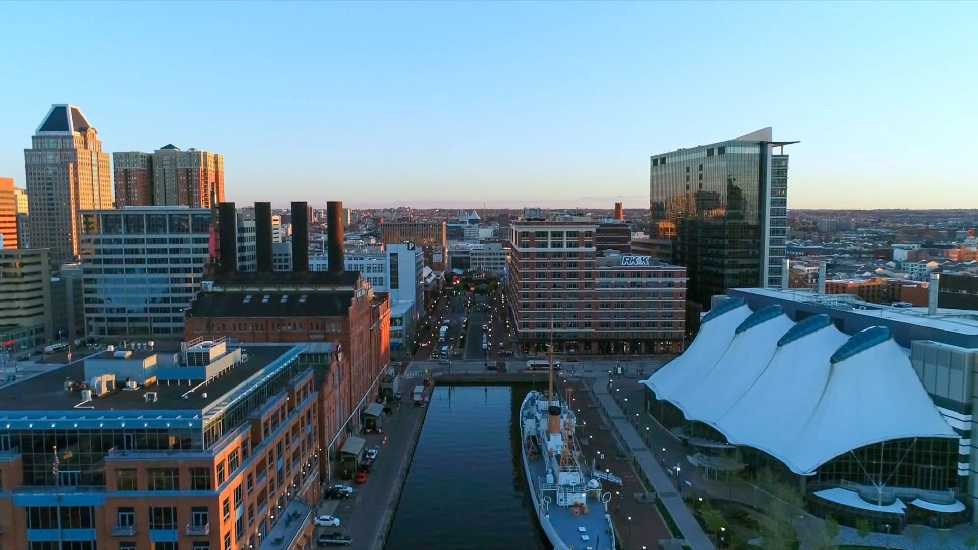
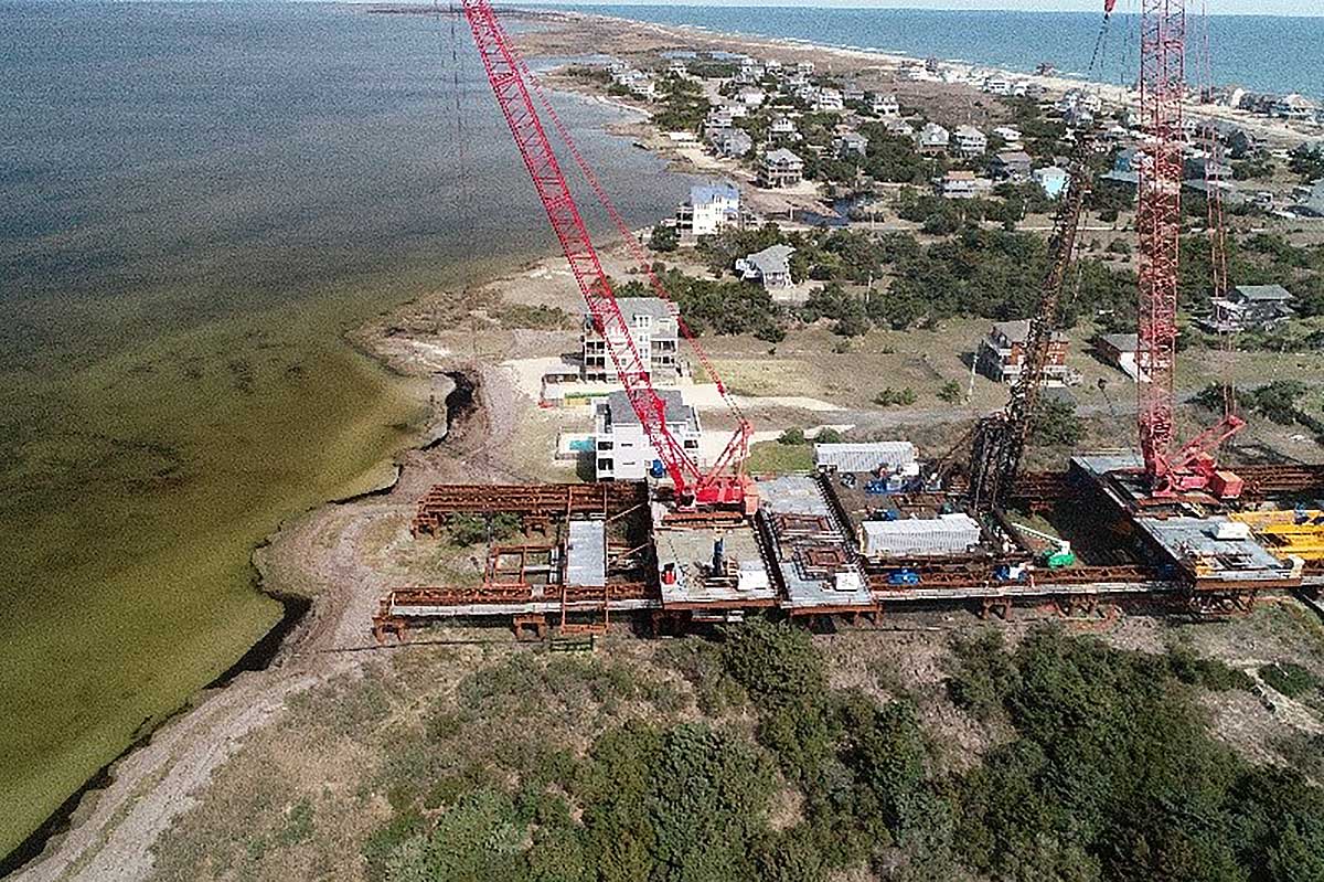
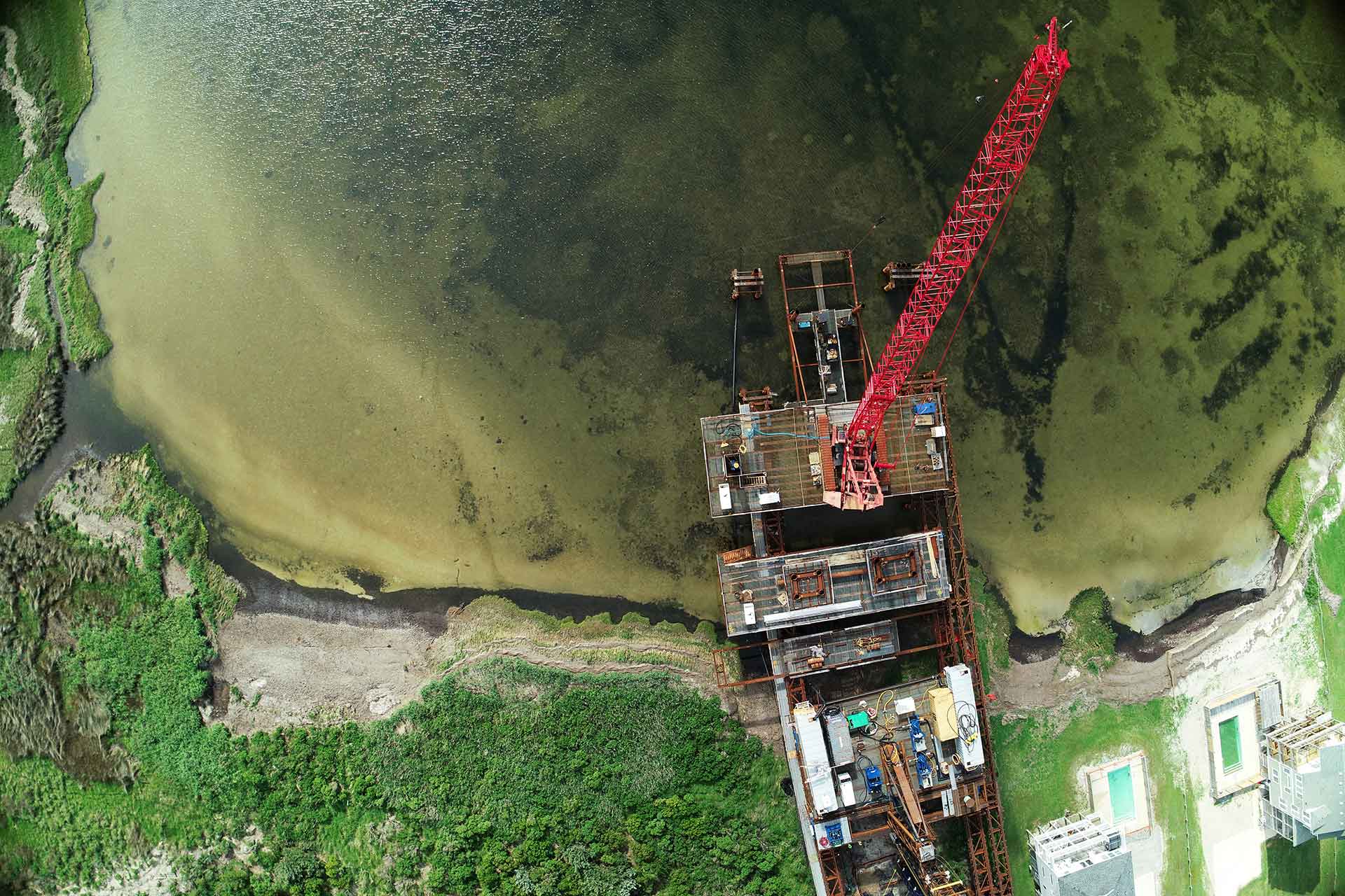
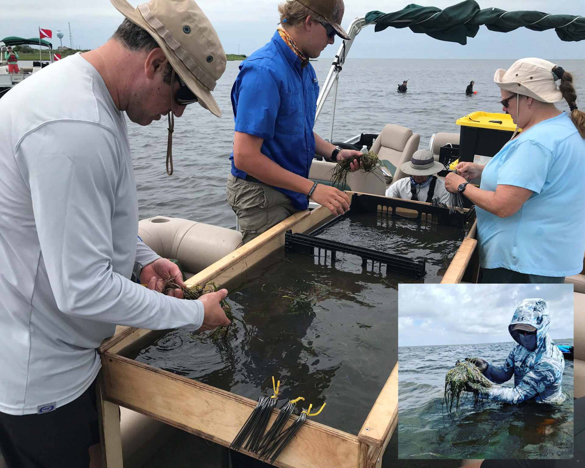
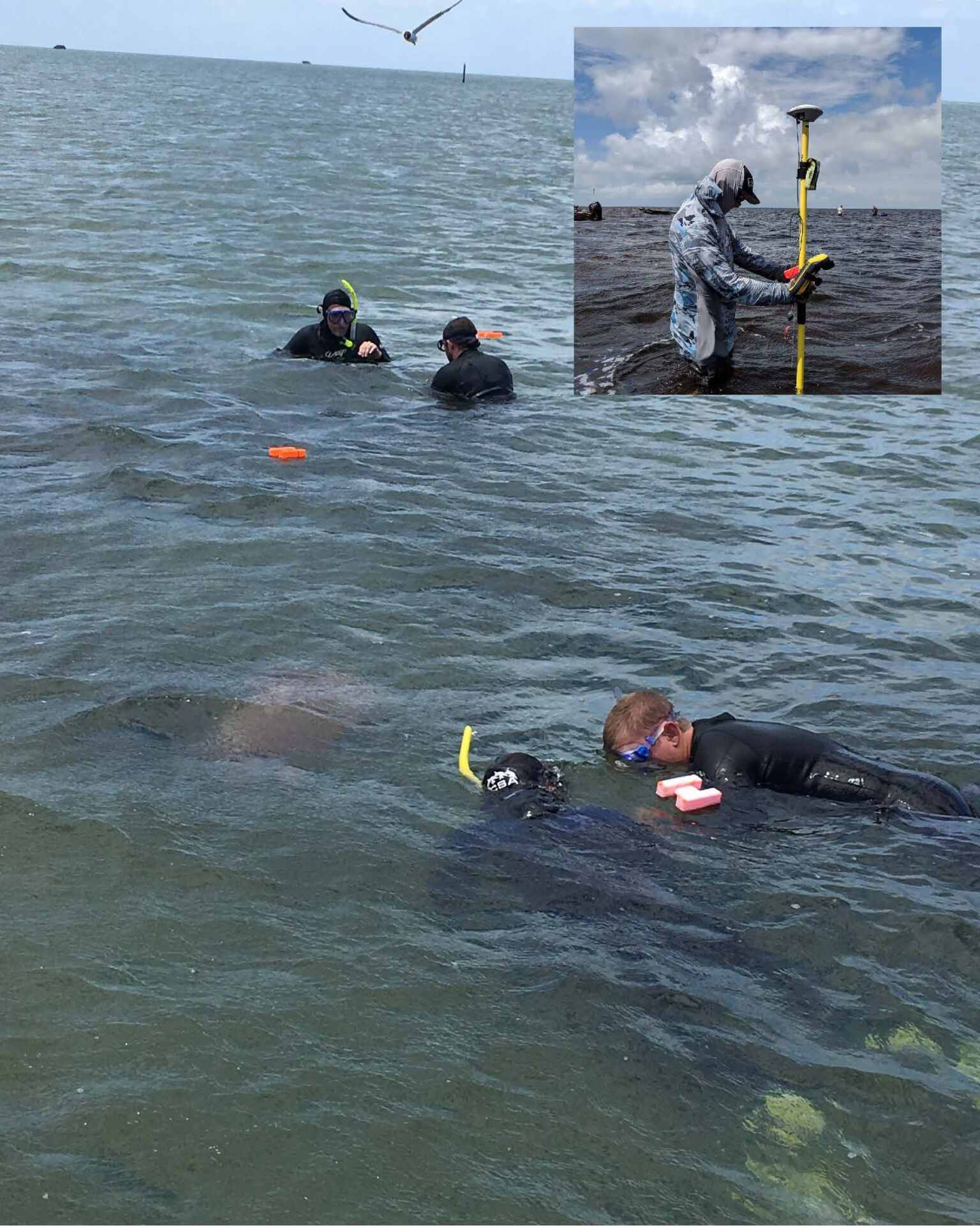
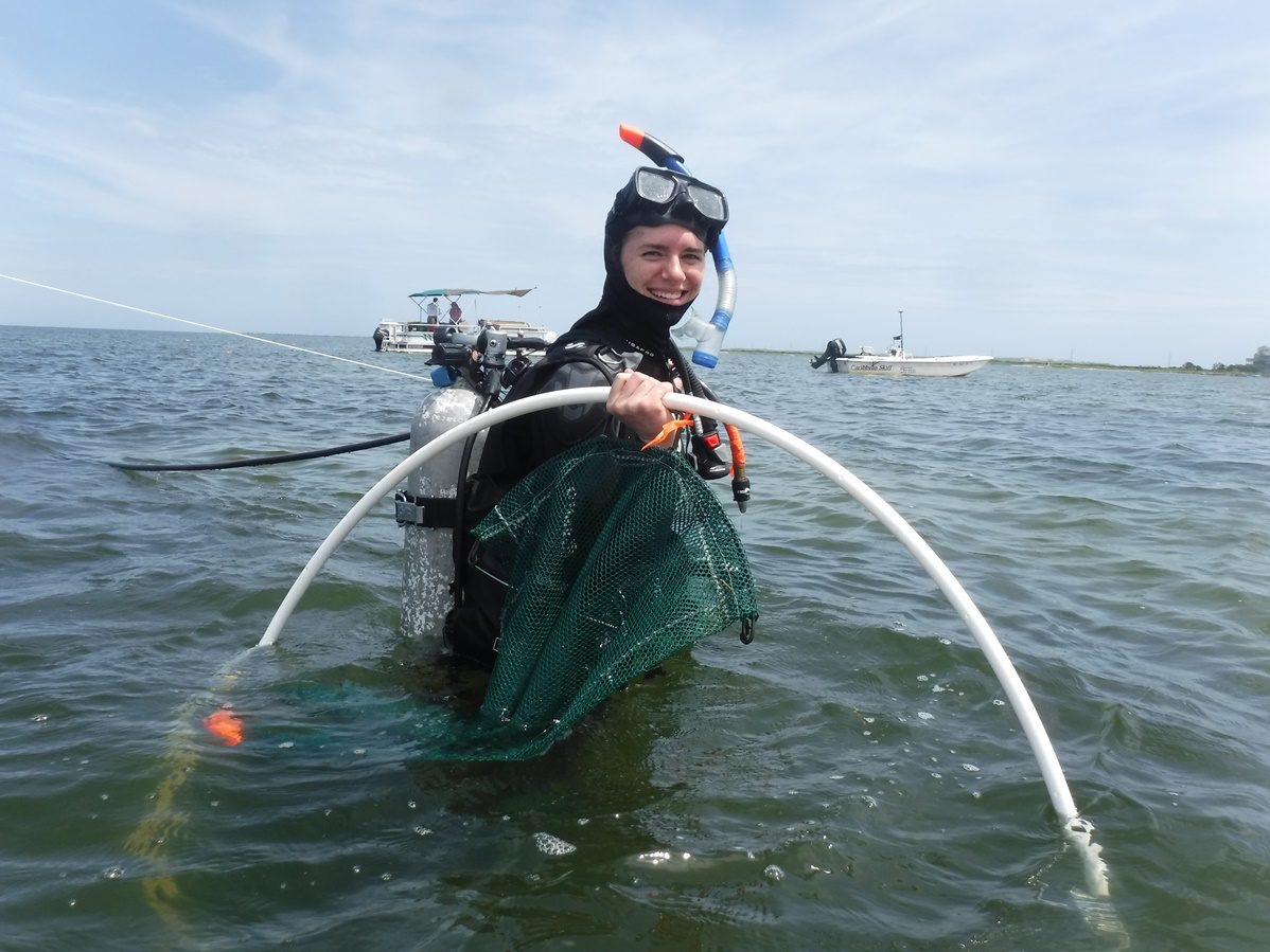
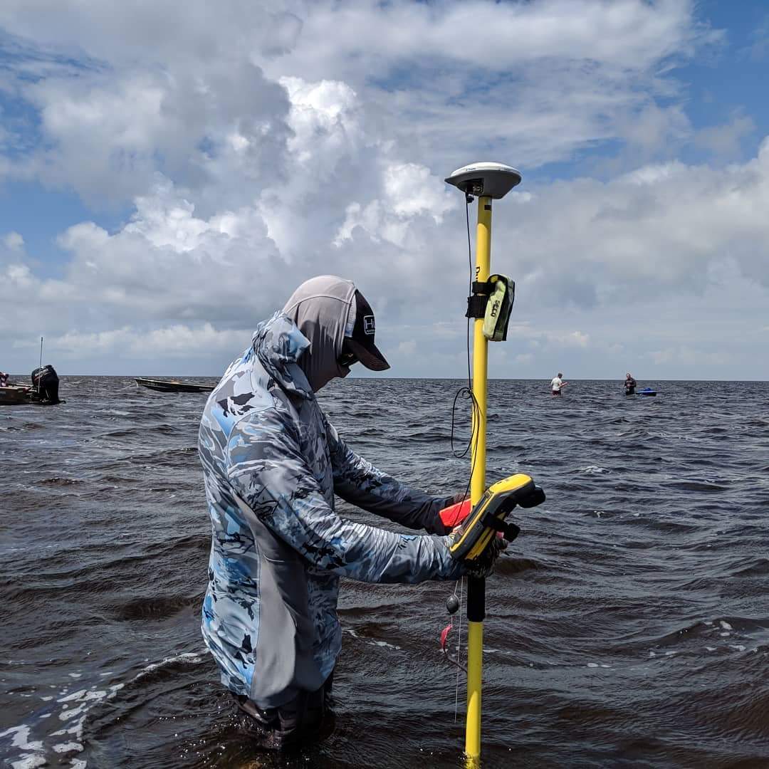
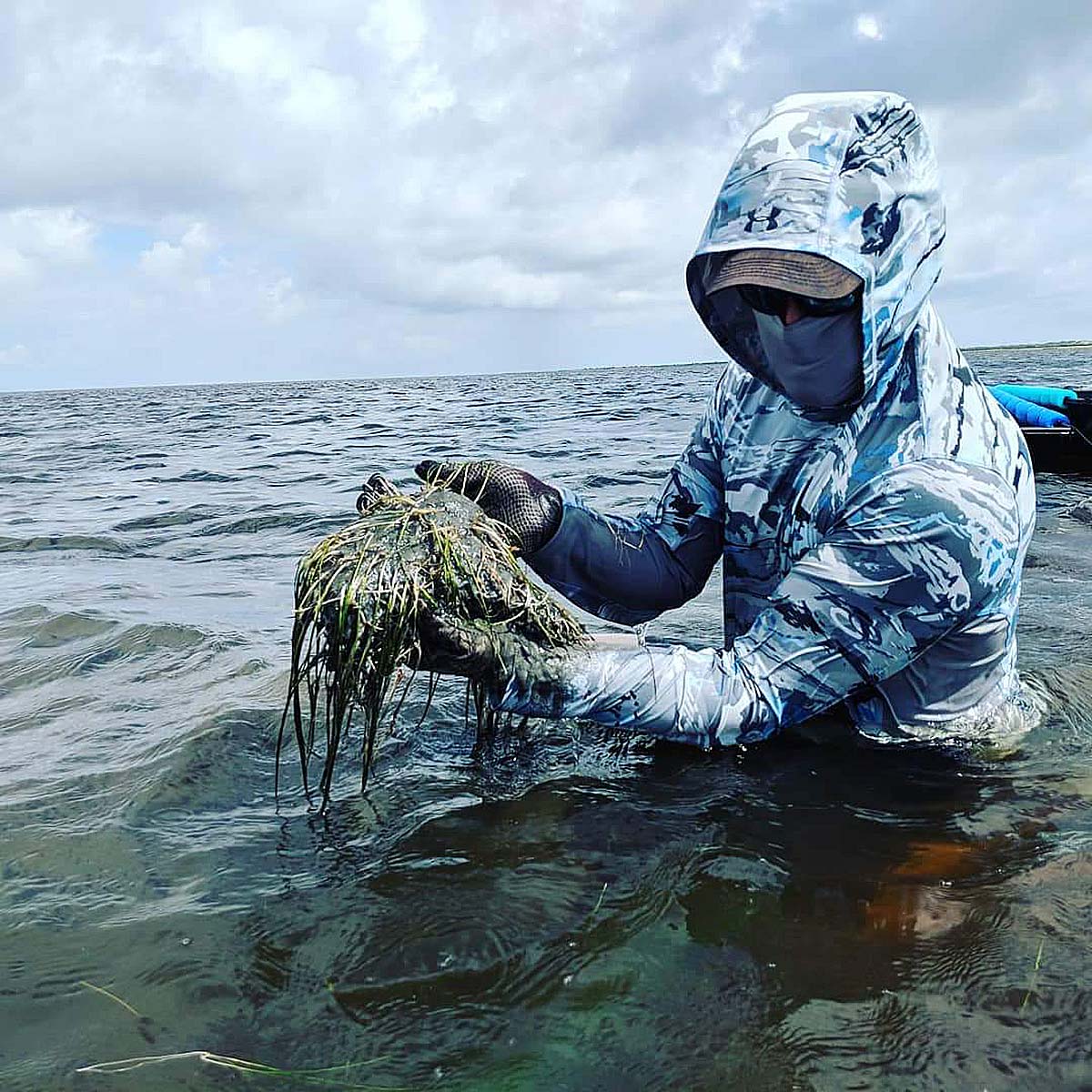
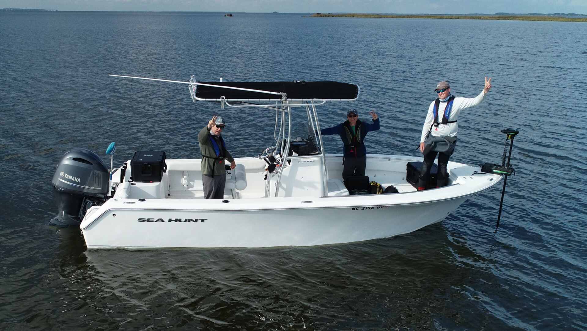
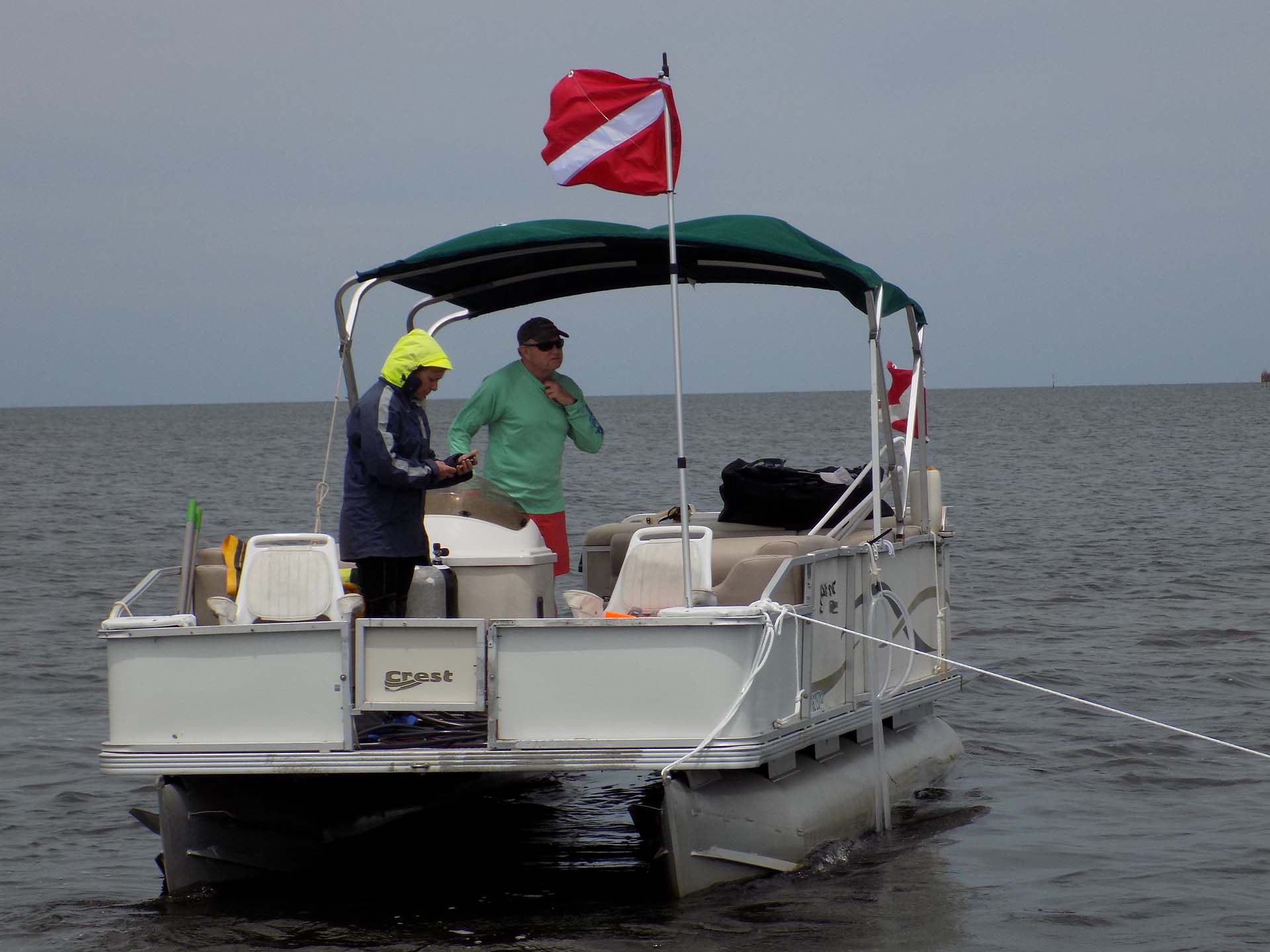
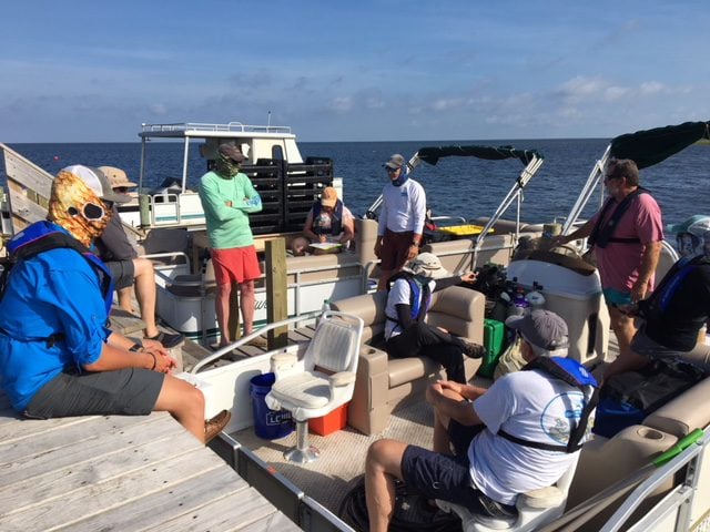
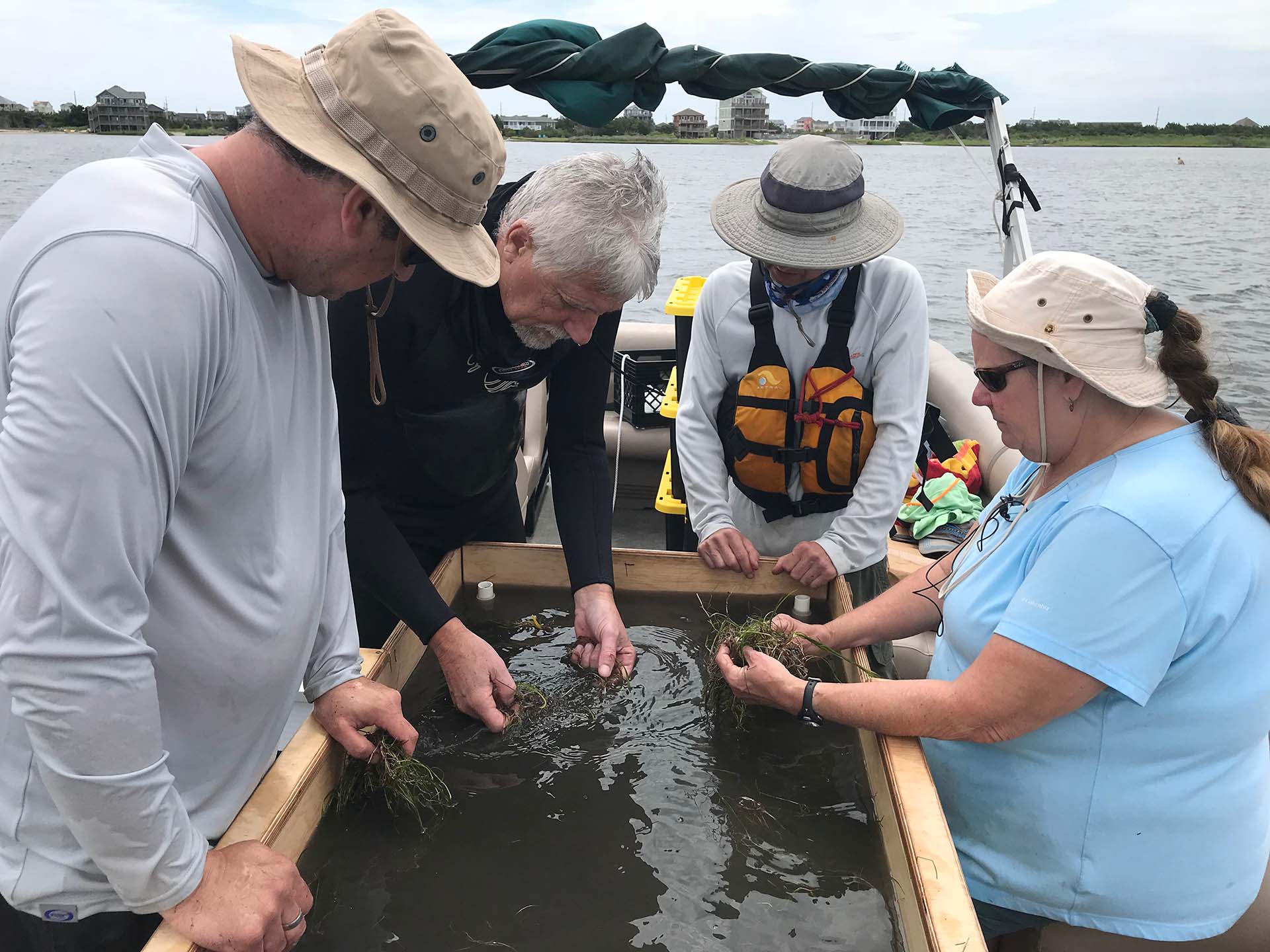
RK&K was contracted by the North Carolina Department of Transportation (NCDOT) to relocate submerged aquatic vegetation (SAV), or seagrass, that would be permanently impacted by the Rodanthe Bridge Design-Build project, a 2.46-mile long, NC 12 “Jug-Handle” bridge over the Pamlico Sound. RK&K’s biologists and environmental scientists planned and executed the seagrass relocation, which required the development of project specific tools and methods that were capable of scaling, harvesting, transporting, and planting seagrass to a donor site ten miles across the Pamlico Sound.
The seagrass relocation was performed as a project commitment to minimize impacts associated with the bridge piles. Overall, 258 bridge pile locations were evaluated, which resulted in 1,398 staple units and 2,000 seagrass sods relocated to a donation site 10 miles away.
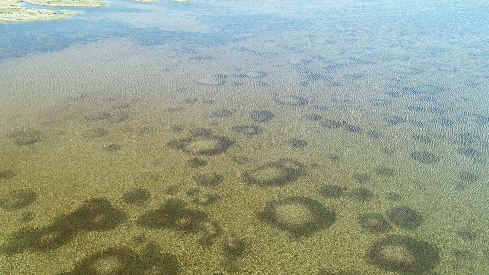
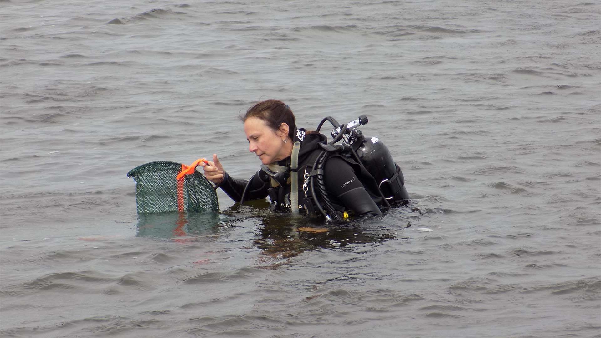
To complete this unique assignment, RK&K biologists designed and constructed a water jet cutting system for seagrass harvest, a transport hydration system, and developed UAS mapping methods for mapping seagrass sub-water surface. Relocated seagrass was utilized to restore and enhance ecological function in damaged seagrass beds.
RK&K was contracted by the North Carolina Department of Transportation (NCDOT) to relocate submerged aquatic vegetation (SAV), or seagrass, that would be permanently impacted by the Rodanthe Bridge Design-Build project, a 2.46-mile long, NC 12 “Jug-Handle” bridge over the Pamlico Sound. RK&K’s biologists and environmental scientists planned and executed the seagrass relocation, which required the development of project specific tools and methods that were capable of scaling, harvesting, transporting, and planting seagrass to a donor site ten miles across the Pamlico Sound.
The seagrass relocation was performed as a project commitment to minimize impacts associated with the bridge piles. Overall, 258 bridge pile locations were evaluated, which resulted in 1,398 staple units and 2,000 seagrass sods relocated to a donation site 10 miles away.
To complete this unique assignment, RK&K biologists designed and constructed a water jet cutting system for seagrass harvest, a transport hydration system, and developed UAS mapping methods for mapping seagrass sub-water surface. Relocated seagrass was utilized to restore and enhance ecological function in damaged seagrass beds.
