
Wetlands are critically important because they filter pollutants, provide essential habitat for wildlife, store floodwaters, and serve as significant cultural resources. In relation to many infrastructure and environmental projects, wetlands help protect shorelines from erosion, reduce flooding by storing excess water, and support habitat for rare and sensitive species. Because of their vital role in maintaining water quality and ecosystem health, wetlands are often referred to as the “kidneys of the landscape.”
In the field, wetlands are identified and delineated based on three key criteria: wetland hydrology, hydrophytic vegetation, and hydric soils.
Legally, wetlands are defined by the U.S. Army Corps of Engineers and the Environmental Protection Agency as areas that are inundated or saturated by surface or groundwater at a frequency and duration sufficient to support, and that under normal circumstances do support, a prevalence of vegetation typically adapted to life in saturated soil conditions. Similarly, the Ramsar Convention, our World Wetlands Day host, defines wetlands as land areas that are permanently or seasonally saturated or flooded with water, including inland wetlands, coastal wetlands, and human-made wetlands.
In order to protect these crucial environments, RK&K’s Natural Resources team offers several services aimed at protecting, preserving, and improving wetlands. I’m happy to spotlight some of the work my team is working on in North Carolina.
Wetland Modeling
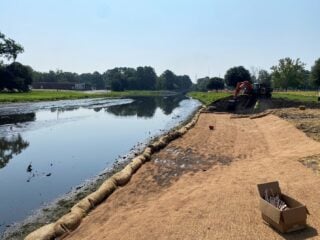
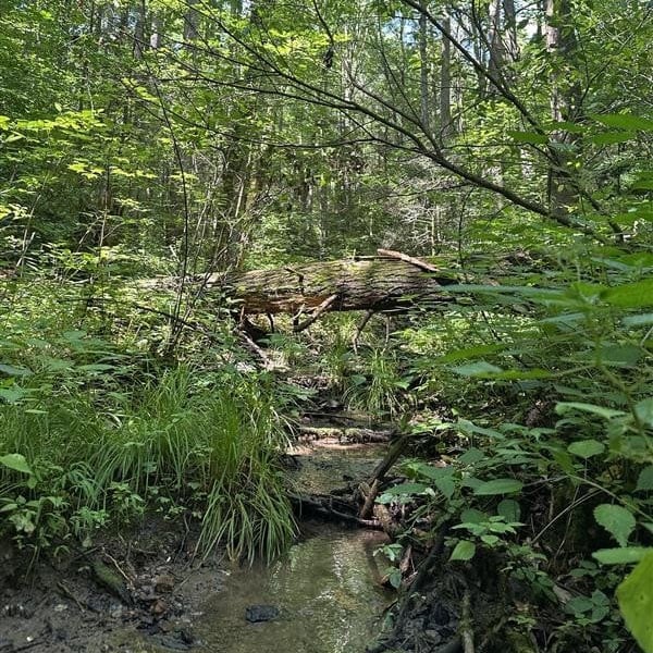
Wetland mitigation work in progress at Jack’s Creek in Washington, NC.
The Natural Resources team was contracted to help choose potential locations that were identified as wetlands and ground truth these locations, meaning confirming wetland presence or absence, for the North Carolina Department of Transportation’s (NCDOT’s) Advancing Transportation through Linkages, Automation, and Screening (ATLAS) initiative.
This effort helps inform the client’s model that is being built to aid in future decisions regarding wetland impacts from future alignments or new alternatives. Our work is helping to protect wetlands from future impacts.
Wetland Monitoring
NCDOT projects may impact wetlands, but the agency takes pride in its offset wetland mitigation projects. To stay in compliance for the credits received for mitigation, NCDOT must perform continual monitoring of these sites. RK&K has been contracted to monitor these mitigation sites annually to ensure they remain in compliance with wetland mitigation credits through the U.S. Army Corps of Engineers.
Wetland Mitigation
The site of wetland modeling for NCDOT’s Advancing Transportation through Linkages, Automation, and Screening (ATLAS) initiative.
RK&K provided wetland mitigation at several sites through Resilient Coastal Communities Grants, which are intended to implement projects that build resilient U.S. coastal communities and ecosystems.
At Wrights Creek, a 5.9-acre parcel owned by Beaufort County, NC, a granite sill living shoreline with marsh planting was designed and prepared for installation in the fall of 2026 to reduce erosion as the marsh vegetation develops. Ultimately, the living shoreline will allow for an increase in wetland area, serving as a natural form of shoreline protection.
In Washington, NC, littoral shelves and two floodplain storage areas were constructed and planted to increase water storage by improving the floodplain and reducing flooding in residential areas.
As part of RK&K’s partnership with the Mid-East Commission on coastal resiliency projects in the Town of Belhaven, NC, we expanded and created a wetland with a paved trail to increase floodwater storage. This work involved 5 acres, including 0.43 acres of created wetland, capable of treating and storing approximately 13,000 ft³ of stormwater.
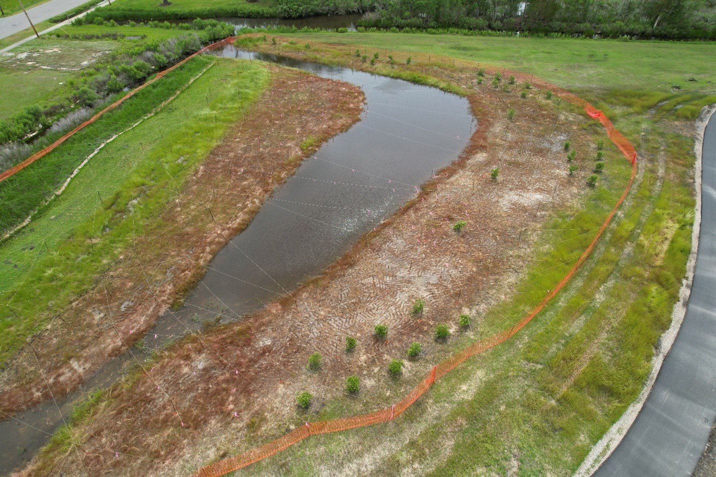
RK&K expanded and created a wetland with a paved trail to increase flood water storage at Wynne’s Gut in the Town of Belhaven, NC.
Wetland Delineation
Wetland delineations are completed at the beginning of a project with the purpose of informing design decisions that avoid and minimize impacts to natural resources.
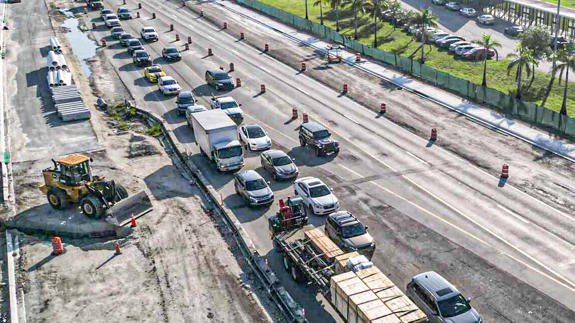
The team hiked the Pigeon River Gorge to delineate wetlands and streams in areas that were used to help repair I-40 Hurricane Helene damage.
RK&K has been responsible for wetland delineations for transportation projects for NCDOT, local municipalities, and disaster response efforts by state and local governments. For example, the team hiked into the Pigeon River/Mt. Sterling Gorge at the border of North Carolina and Tennessee to delineate wetlands and streams in areas used to support repairs to I-40 following Hurricane Helene damage. This effort helped catalog natural features that would require mitigation if impacted by the project.
I’m proud to be part of the team supporting responsible development and long-term resilience by protecting the wetlands that serve as the foundation of our natural landscape—in North Carolina and beyond!