


Unmanned Aerial Systems (UAS) / Drones
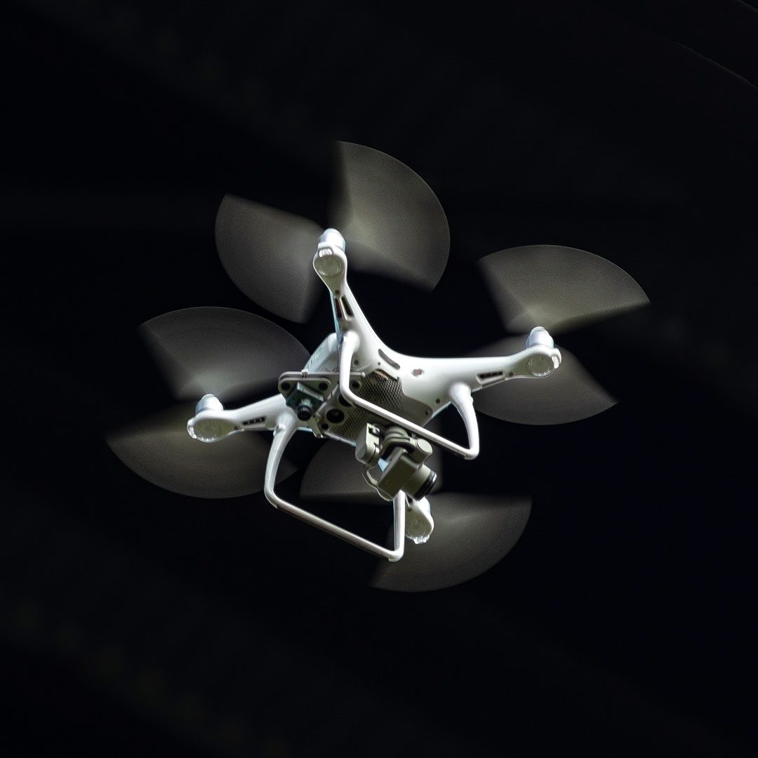
RK&K is on the leading edge of UAS, or drones. Two of the many benefits are improved inspection capabilities and aerial renderings.
Our UAS fleet includes a variety of project-specific craft along with a suite of software for imagery processing, planning, and advanced data collection. Our UAS services include aerial photography and video, topographic surveys, aerial inspections, construction site progress, GIS, remote sensing, mapping, UAS training, and ecological assessments.
Our technical capabilities include the ability to plan, collect, process, and deliver a wide range of high-quality geospatial products, ensuring accurate data collection and analysis for diverse project needs. These products include:
- LiDAR point cloud
- Topographical surfaces (DSM, DTM, TIN)
- Ortho mosaic mapping
- 3D models (compatible with Bentley and ESRI products)
- Thermal imagery mapping
- 360 Panoramic photo spheres
- HD photos
- HD + 4K videos
Have a question? Ready to start a project?
Areas of Expertise
You might also be interested in:
Blog