

GIS Datasets
Adaptation Strategies Recommended
Water Resources Engineer:
Dori Shivers
The Project
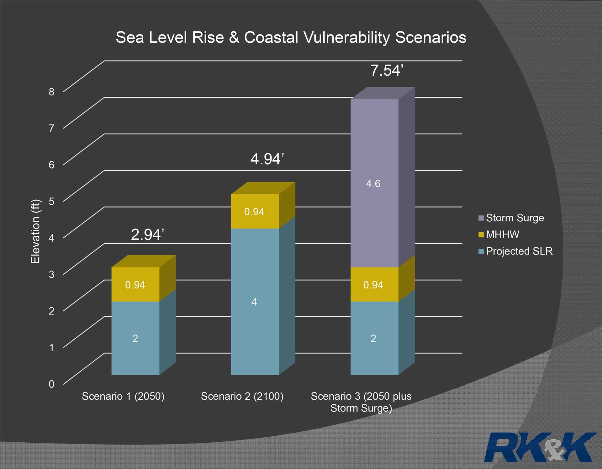
RK&K compiled existing research on future Sea Level Rise (SLR) and recommended relative SLR projections and storm surge elevations to be used in the vulnerability assessment.
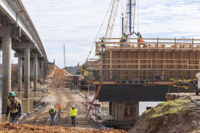
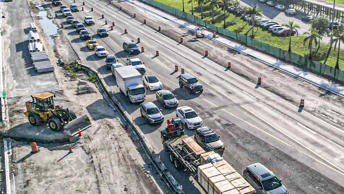
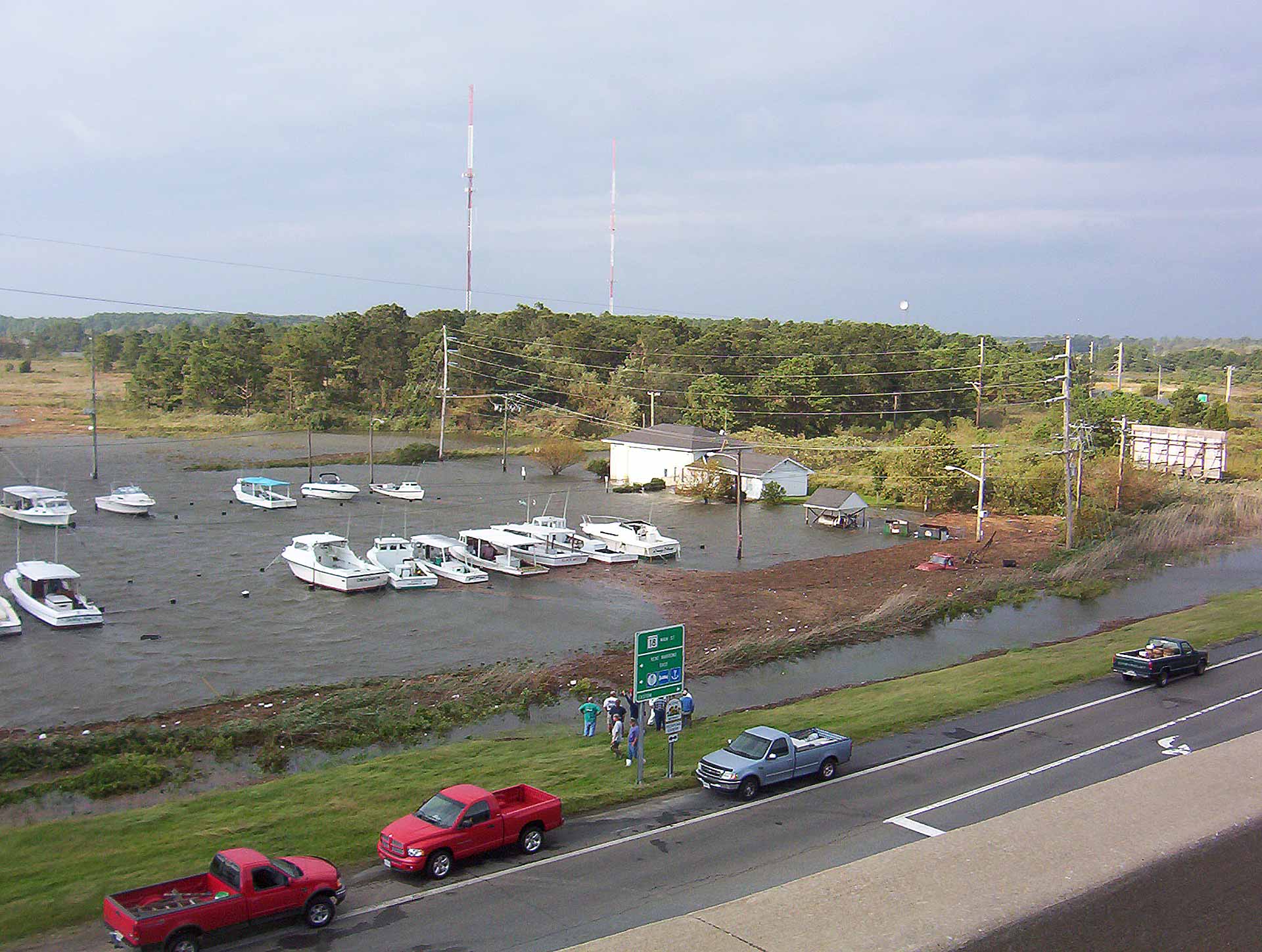
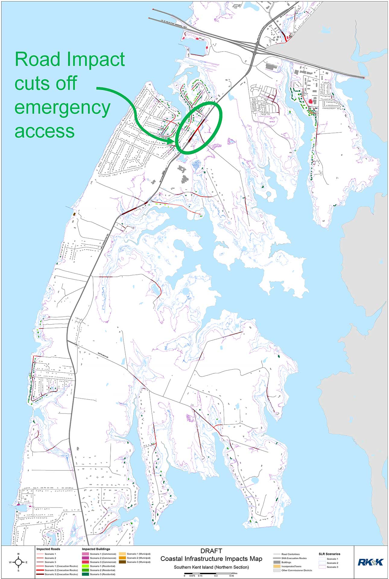
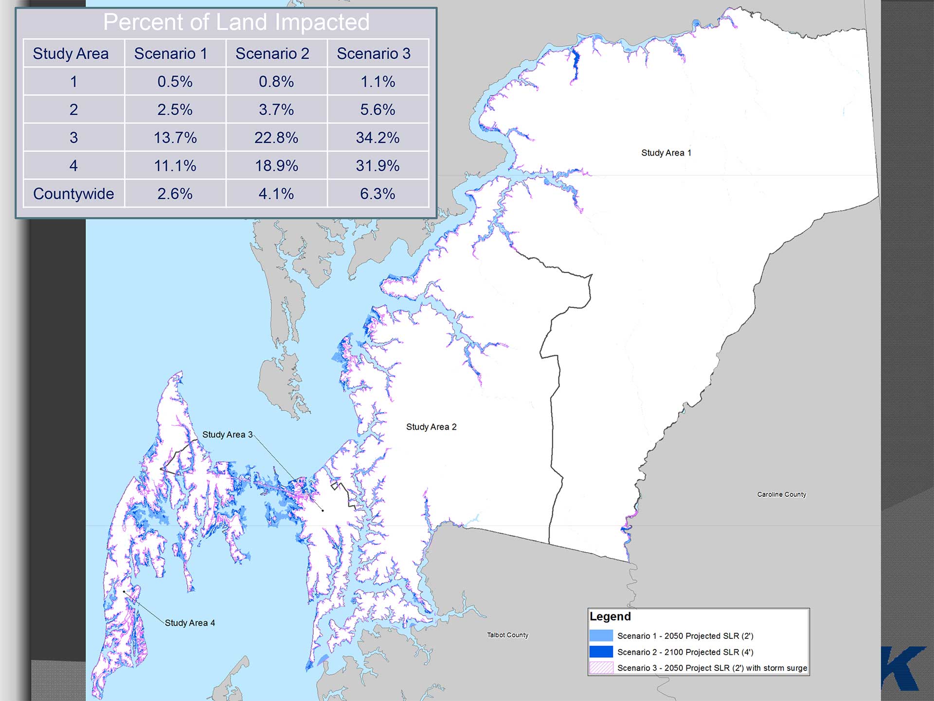
Using more than 50 GIS datasets, RK&K prepared mapping of three SLR and coastal flooding scenarios, identified vulnerable areas, and determined impacts to 35 resources, ranging from public safety resources, such as, emergency service facilities and evacuation routes; to public, private and commercial infrastructure.
Approximately 100 short-, medium-, and long-term adaptation strategies were recommended, including strategies to build adaptive capacity within the County to make informed decisions in planning, developing and implementing projects.
RK&K compiled existing research on future Sea Level Rise (SLR) and recommended relative SLR projections and storm surge elevations to be used in the vulnerability assessment.
Using more than 50 GIS datasets, RK&K prepared mapping of three SLR and coastal flooding scenarios, identified vulnerable areas, and determined impacts to 35 resources, ranging from public safety resources, such as, emergency service facilities and evacuation routes; to public, private and commercial infrastructure.
Approximately 100 short-, medium-, and long-term adaptation strategies were recommended, including strategies to build adaptive capacity within the County to make informed decisions in planning, developing and implementing projects.
